
Hilltop Villages in Provence
6 of 30Village des Bories
Why go
An open-air museum of 20 or so dry stone huts just 1.5 km west of Gordes, once known locally as 'Les Cabanes'. Wikipedia
Getting there
DirectionsGordes
Why go
A Vaucluse commune within reach of Avignon, Cavaillon, L'Isle-sur-la-Sorgue and Apt, handy as a base for the area. Wikipedia
Getting there
DirectionsJoucas
Why go
A small Vaucluse commune on the edge of the Parc naturel régional du Luberon. Wikipedia
Getting there
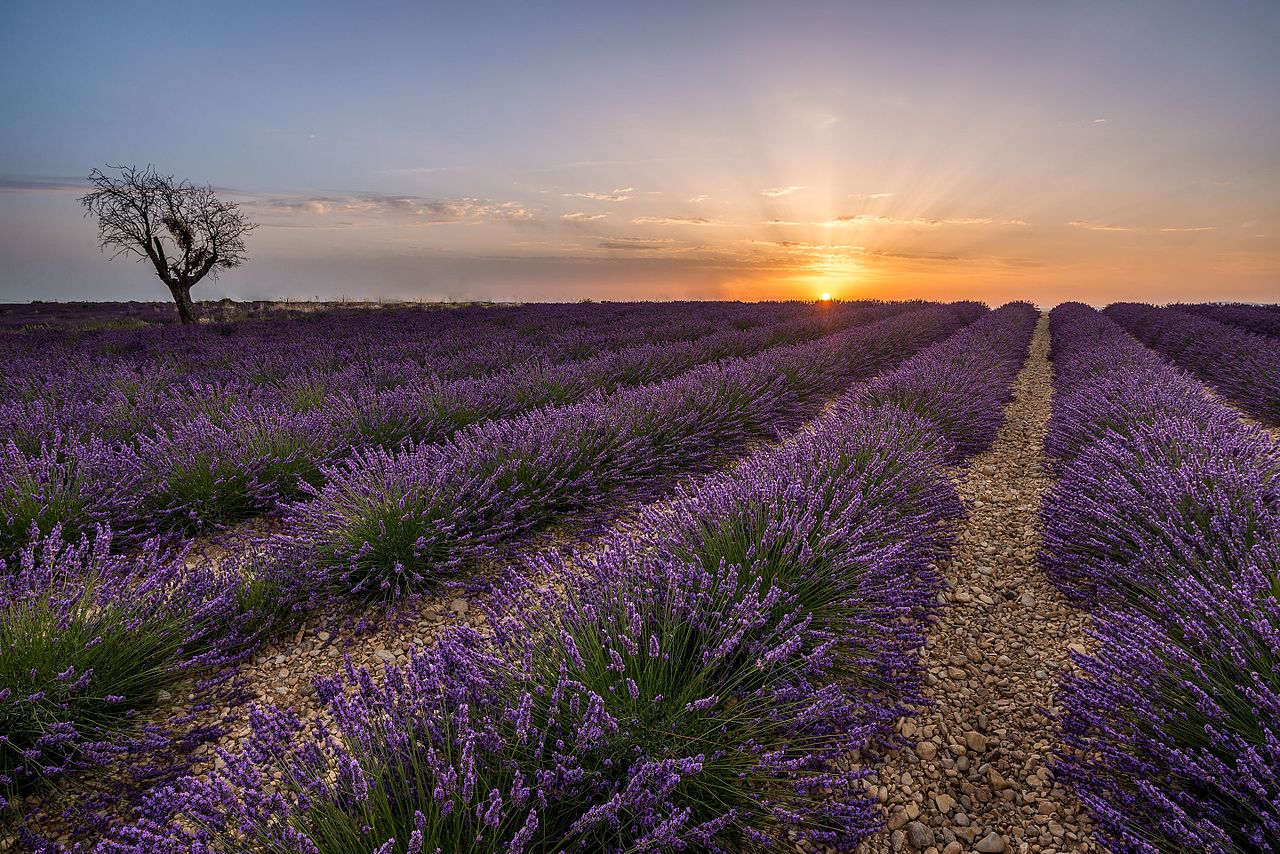
DirectionsValensole
Why go
A commune of about 3,173 inhabitants in the Alpes-de-Haute-Provence department. Wikipedia
Getting there
Directions- Hilltop Villages
Pertuis
Why go
A town south of the Luberon with roots going back to at least 981 and a castle first built in the 12th century. Wikipedia
Getting there
Directions - Hilltop Villages
Luberon
Why go
A massif of the French Prealps rising to 1,256 metres, made up of the Lesser, Greater and Eastern Luberon ranges. Wikipedia
Getting there
Directions - +24 more on the full mapEvery one pinned with a note in the Hilltop Villages layer.


Food & Markets in Provence
1 of 30- Food & Markets
Château La Coste
Why go
A 600-acre estate combining a sculpture park, art destination and organic winery. Wikipedia
Getting there
Directions - +29 more on the full mapEvery one pinned with a note in the Food & Markets layer.
This guide shows 13. The map has 147.
Every place in this guide plus 134 more, colour-coded by layer and ready to navigate in Google Maps.
Landmarks in Provence
6 of 29Palais des Papes
Why go
One of Europe's largest and most important medieval Gothic buildings, the papal residence that was a seat of Western Christianity in the 14th century. Wikipedia
Getting there
DirectionsPalais Longchamp
Why go
Marseille monument housing both the fine arts and natural history museums, set in a park listed among the Notable Gardens of France. Wikipedia
Getting there
DirectionsTriumphal arch
Why go
A Roman arch in Orange, likely from the reign of Augustus, built on the via Agrippa to honour veterans of the Gallic Wars. Wikipedia
Getting there
DirectionsPalais du Pharo
Why go
A Second Empire palace overlooking the Mediterranean west of Marseille's Old Port, begun in 1858 by Napoleon III for Empress Eugénie. Wikipedia
Getting there
DirectionsFort Saint-André
Why go
A medieval fortress in Villeneuve-lès-Avignon dating from the first half of the 14th century. Wikipedia
Getting there
Directions- Landmarks
Dentelles de Montmirail
Why go
A small mountain chain just south of Vaison-la-Romaine, forming the foothills of Mont Ventoux, Provence's highest peak. Wikipedia
Getting there
Directions - +23 more on the full mapEvery one pinned with a note in the Landmarks layer.


Every pin on one map
Tap an open pin to see it. The rest unlock with the full map.
All 147 places on one map
Open it in Google Maps on your phone, see what is near you and navigate in one tap. Instant download.
- Hilltop Villages30
- Viewpoints29
- Food & Markets30
- Lavender & Nature29
- Landmarks29
Why-go notes are adapted from the linked Wikipedia articles by their contributors and are available under CC BY-SA 4.0. Photos are from Wikimedia Commons, credited on each photo with its author and licence.