
Viewpoints & Miradouros in Madeira
2 of 30Viewpoint Pico do Areeiro
Why go
At 1,818 m, Madeira's third-highest peak rises from the mountainous interior, and its summit is reachable by road directly from Funchal. Wikipedia
Getting there
DirectionsCabo Girão
Why go
A lofty sea cliff on Madeira's southern coast that serves as a tourist lookout for up to 1800 visitors a day and a common starting point for hikers. Wikipedia
Getting there
Directions- +28 more on the full mapEvery one pinned with a note in the Viewpoints & Miradouros layer.


Beaches in Madeira
3 of 30Praia de Machico
Why go
A sandy beach by Machico, one of only a few on Madeira; its imported sand, taken from Western Sahara, comes with a controversial backstory. Wikipedia
Getting there
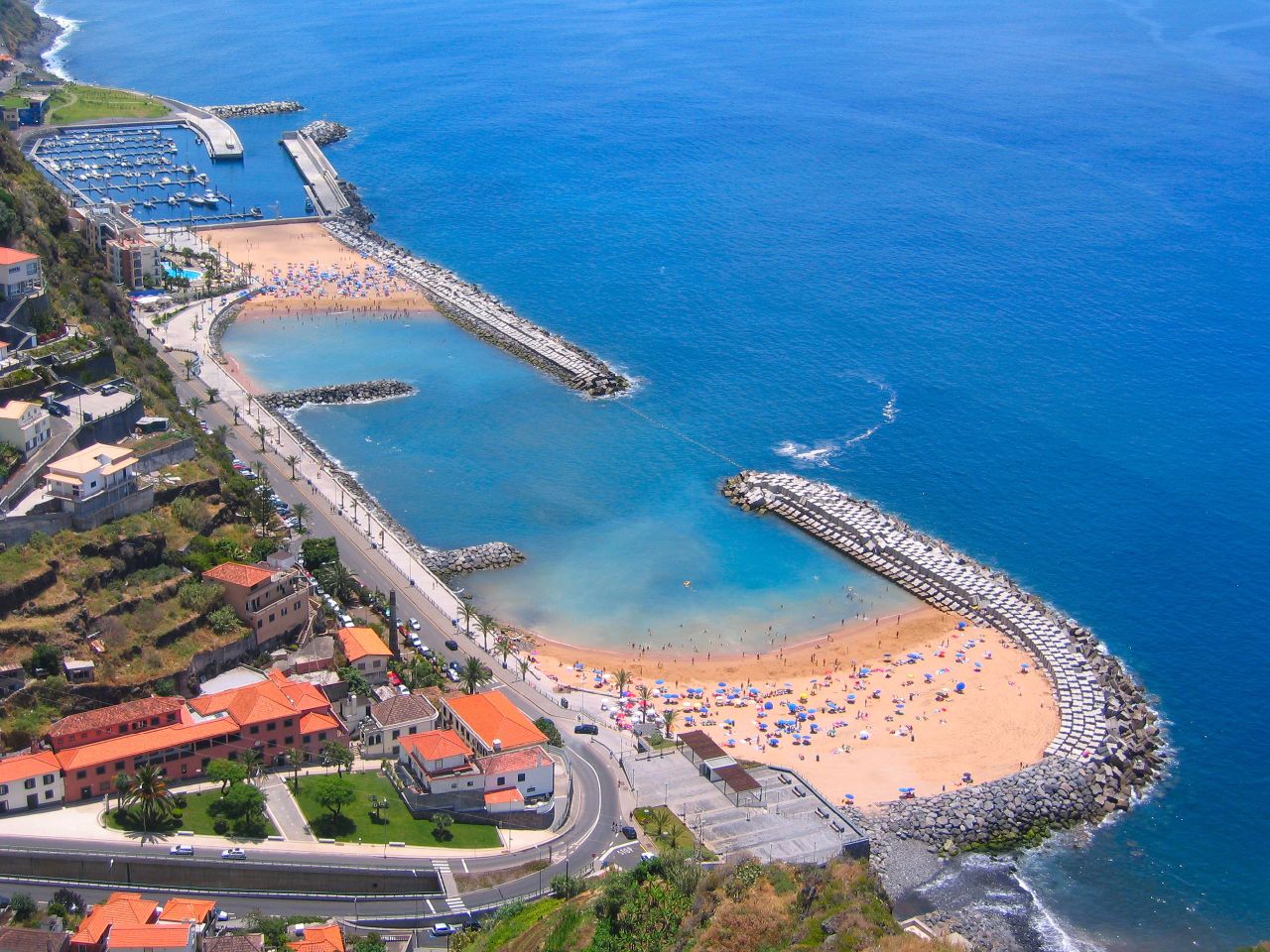
DirectionsPraia da Calheta beach
Why go
Worth a stop near the town of Calheta for something uncommon on Madeira: a sandy beach, laid with sand brought from North Africa. Wikipedia
Getting there
DirectionsPraia Formosa
Why go
A popular beach in Funchal's fashionable district, whose famous residents have included Christopher Columbus and Cristiano Ronaldo. Wikipedia
Getting there
Directions- +27 more on the full mapEvery one pinned with a note in the Beaches layer.


This guide shows 14. The map has 145.
Every place in this guide plus 131 more, colour-coded by layer and ready to navigate in Google Maps.
Nature & Levadas in Madeira
3 of 30Madeira Natural Park
Why go
Created in 1982 to safeguard Madeira's endemic flora and fauna, this large reserve shelters endangered species including the rare Zino's petrel. Wikipedia
Getting there
DirectionsPonta de São Lourenço
Why go
Madeira's easternmost point, within Caniçal in Machico municipality, a landscape of rocks and herbaceous vegetation. Wikipedia
Getting there
DirectionsMadeira Botanical Garden
Why go
A Funchal botanical garden open to the public since 1960, on land once part of the estate of the family of William Reid, founder of Reid's Hotel. Wikipedia
Getting there
Directions- +27 more on the full mapEvery one pinned with a note in the Nature & Levadas layer.


Villages in Madeira
6 of 25Ponta do Sol
Why go
A municipality on Madeira's southwestern coast, home to 8,862 people in 2011 across 46.19 km2. Wikipedia
Getting there
DirectionsPaul do Mar
Why go
A small civil parish in Calheta municipality, with just 871 residents in 2011 on 1.40 km2. Wikipedia
Getting there
DirectionsCaniçal
Why go
A Machico parish of 3,924 people (2011), equidistant from Funchal and Santana and linked to both by the Regional 109 roadway. Wikipedia
Getting there
DirectionsPorto da Cruz
Why go
A civil parish in Madeira's northeastern corner, part of Machico municipality, with 2,597 residents in 2011. Wikipedia
Getting there
DirectionsArco de São Jorge
Why go
The smallest parish in Santana municipality by both population and area, with 413 residents in 2011. Wikipedia
Getting there
DirectionsCamacha
Why go
A parish in Madeira's mountainous interior, 7 km northeast of Funchal and 3 km north of Caniço. Wikipedia
Getting there
Directions- +19 more on the full mapEvery one pinned with a note in the Villages layer.


Every pin on one map
Tap an open pin to see it. The rest unlock with the full map.
All 145 places on one map
Open it in Google Maps on your phone, see what is near you and navigate in one tap. Instant download.
- Viewpoints & Miradouros30
- Beaches30
- Food & Drink30
- Nature & Levadas30
- Villages25
Why-go notes are adapted from the linked Wikipedia articles by their contributors and are available under CC BY-SA 4.0. Photos are from Wikimedia Commons, credited on each photo with its author and licence.