
Nature & Forests in Estonia Camping
6 of 30Karula National Park
Why go
Estonia's smallest national park, in the south of the country, protected since 1979. Wikipedia
Getting there
DirectionsLahemaa National Park
Why go
A 747 km2 national park 70 kilometers east of Tallinn, bordered by the Gulf of Finland to the north. Wikipedia
Getting there
DirectionsVilsandi National Park
Why go
A marine protected area taking in part of Vilsandi island, smaller islands and the Harilaid peninsula on western Saaremaa. Wikipedia
Getting there
DirectionsNigula Nature Reserve
Why go
One of the oldest bog reserves in Estonia, covering 63.98 km2 in Pärnu County. Wikipedia
Getting there
DirectionsKadriorg Park
Why go
A park of about 70 ha in Tallinn whose history began in 1718 under Peter the Great. Wikipedia
Getting there
Directions- Nature & Forests
Alam-Pedja Reserve
Why go
Estonia's largest nature reserve, 342 km2 of large bogs, unregulated rivers, floodplains and extensive forests. Wikipedia
Getting there
Directions - +24 more on the full mapEvery one pinned with a note in the Nature & Forests layer.
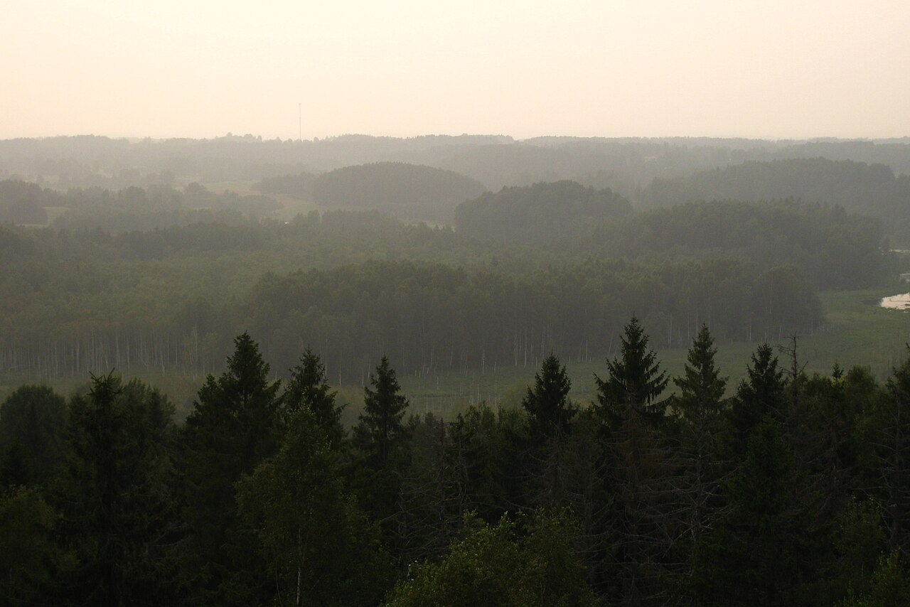


Viewpoints in Estonia Camping
5 of 30Purekkari cape
Why go
The northernmost land point of Estonia, at the tip of the Pärispea Peninsula, with erratic boulders such as Purekkari Maasäärekivi. Wikipedia
Getting there
DirectionsSuur Munamägi Tower
Why go
An observation tower on top of Suur Munamägi, Estonia's highest hill, in Võru County. Wikipedia
Getting there
DirectionsJägala Waterfall
Why go
Estonia's largest natural waterfall, about 50 meters wide and 8 meters high on the Jägala River. Wikipedia
Getting there
Directions- Viewpoints
Põgari-Sassi viewpoint
Why go
A village in Haapsalu municipality in Lääne County, western Estonia. Wikipedia
Getting there
Directions - Viewpoints
Türisalu cliff
Why go
Part of the Baltic Klint, this cliff at Türisalu rises up to 30 metres. Wikipedia
Getting there
Directions - +25 more on the full mapEvery one pinned with a note in the Viewpoints layer.


This guide shows 17. The map has 120.
Every place in this guide plus 103 more, colour-coded by layer and ready to navigate in Google Maps.
Lakes & Bogs in Estonia Camping
6 of 30Lake Mõrtsuka
Why go
A lake in the village of Päidla, Otepää Parish, Valga County. Wikipedia
Getting there
DirectionsLake Verevi
Why go
A lake in southern Estonia, located in the town of Elva. Wikipedia
Getting there
DirectionsLake Porkuni
Why go
A northern Estonian lake in Porkuni village that is the source of the Valgejõgi River. Wikipedia
Getting there
DirectionsLake Maardu
Why go
A lake in the town of Maardu, with Maardu Manor in the village on its southeastern side. Wikipedia
Getting there
Directions- Lakes & Bogs
Lake Viljandi
Why go
A 4.6 km long lake lying in a deep valley below the town of Viljandi. Wikipedia
Getting there
Directions - Lakes & Bogs
Lake Tõhela
Why go
A lake in the village of Männikuste in southwestern Estonia, within the urban municipality of Pärnu. Wikipedia
Getting there
Directions - +24 more on the full mapEvery one pinned with a note in the Lakes & Bogs layer.


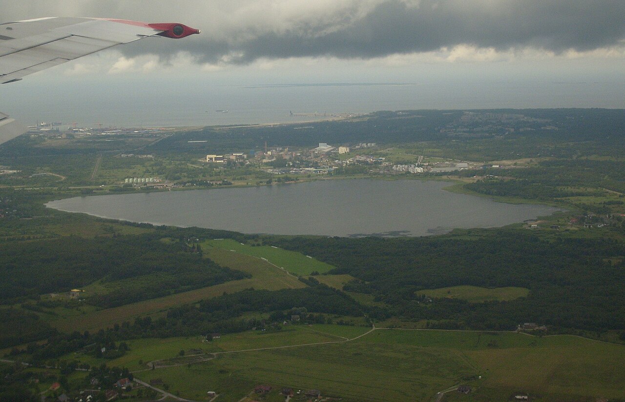
Every pin on one map
Tap an open pin to see it. The rest unlock with the full map.
All 120 places on one map
Open it in Google Maps on your phone, see what is near you and navigate in one tap. Instant download.
- Campsites (RMK)30
- Nature & Forests30
- Viewpoints30
- Lakes & Bogs30
Why-go notes are adapted from the linked Wikipedia articles by their contributors and are available under CC BY-SA 4.0. Photos are from Wikimedia Commons, credited on each photo with its author and licence.